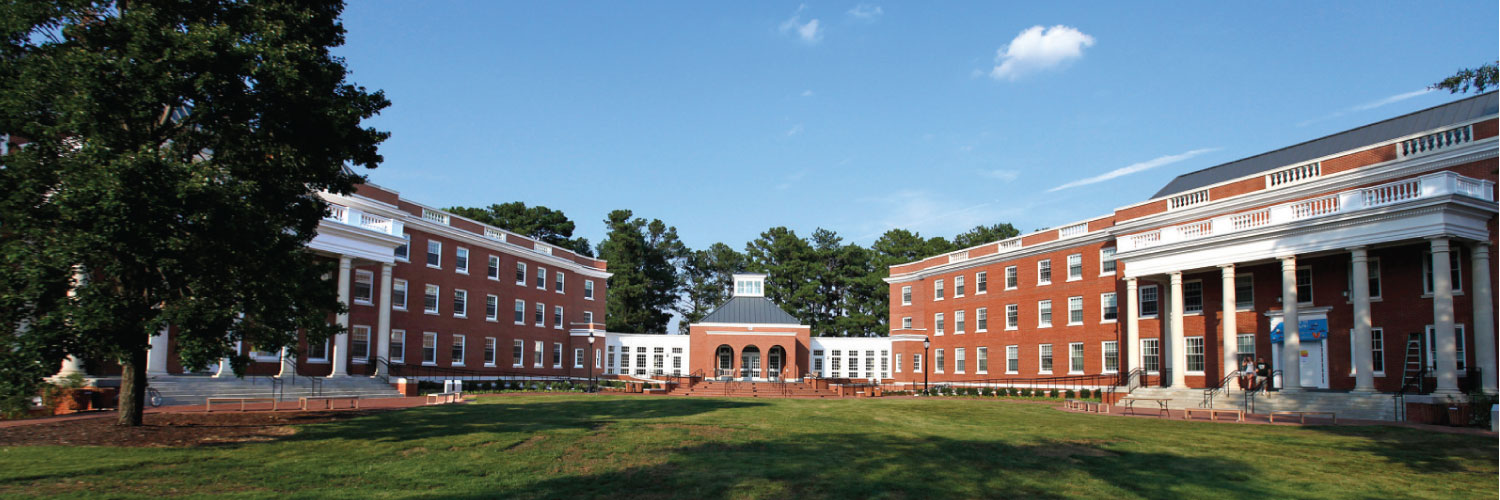
The presidential plantations once belonging to George Washington, Thomas Jefferson, James Madison and James Monroe are picturesque destinations for tourists who want to learn more about these Founding Fathers from Virginia. But these museums often fail to adequately tell the stories of the enslaved people who lived and toiled there. UMW Professor of Geography Stephen Hanna's research on the topic was recently highlighted in Northern Virginia Magazine. Do plantation museums do justice to the memory of the enslaved? Local professor Stephen Hanna wanted to find out, so in 2014 he joined a team of researchers associated with TourismRESET, a world-wide network of scholars who study and challenge social inequity in tourism. Hanna, who teaches geography at the University of Mary Washington in Fredericksburg, received a grant from the National Science Foundation, enabling him to lead undergraduate students through multi-year research on how narratives and exhibits about enslaved populations and slavery were presented or absent at 15 different plantation sites. The goal was to present their findings to museum managers and thus facilitate more historically accurate and meaningful tours. His team is in the final stages of publishing a book summarizing their data and findings, to be released in March 2022. The full article is attached below and is well worth the complete read.
If you are a journalist covering this critical topic about American history, then let us help with your questions and stories. Dr. Hanna is available to speak with media regarding this topic. Simply click on his icon to arrange an interview.
·
2 min
As the debate continues with what to do with Confederate monuments that dot America’s landscape, the experts from the University of Mary Washington have been lending perspective, knowledge and opinion to the conversation.
Professor of Geography Stephen P. Hanna is part of a team of scholars from universities across the South who are investigating how enslavement is incorporated in the landscape and narratives of Southern plantation museums. A key part of this work is to suggest ways these museums can rework their tours and exhibits to help the public understand that slavery was central to both the lives of everybody who lived at these sites and to the development of American political and economic systems.
Says Hanna: “A year after white supremacists rioted in Charlottesville, it is clear that the underlying issues related to racial justice have not gone away. African-Americans face arrest for simply being in places where whites suspect they don’t belong. Police are more likely to escalate their use of force more quickly when dealing with black Americans. In addition, both Blacks and Latinos are fighting efforts to make it harder for them to vote while Latino Immigrants have to fear deportation and family separation.”
He continues: “The struggle over Confederate Memorials and the narratives presented as “history” at southern plantation museums must be seen within this context. The good news is that more people understand that statues of Robert E. Lee and costumed tour guides at plantation museums describing a romanticized version of the antebellum South don’t represent our shared past. Instead they are efforts to write a particular history that denies that our nation’s roots include enslavement of African-Americans and that slavery’s legacy includes the injustices non-whites endure today.”
Dr. Hanna is available to speak with media regarding this topic. Simply click on his icon to arrange an interview.
Source:
Media
Social
Biography
Every Southern plantation has a story to tell. In his work chronicling how slavery has been incorporated into the U.S. commemorative landscape, University of Mary Washington Professor of Geography Stephen P. Hanna taps into missing antebellum and Civil War-era narratives.
Also an expert on cartography and critical applications of GIS, Dr. Hanna, a human geographer by training, is interested in the economic and cultural characteristics of places within the global economy.
He has used maps to study election outcomes; his columns analyzing regional, state and national elections have appeared in The Washington Post and The Richmond-Times Dispatch, among other publications.
His work with professors from six other universities on “Transformation of Racialized American Southern Heritage Landscape,” was made possible through a National Science Foundation grant. The team is documenting visitors’ experiences to show how slavery is presented at plantation house museums in Louisiana, South Carolina and Virginia.
Dr. Hanna also studied how markers represent slavery in the historical landscape of Fredericksburg, Virginia with the help of several UMW students. This work appeared in Social and Cultural Geography, The Southeastern Geographer, Cultural Geographies and as a chapter in Social Memory and Heritage Tourism Methodologies (2015), a book he co-edited.
Hanna co-edited the book "Mapping Tourism" (2003), and his work appears in publications such as Progress in Human Geography, Urban Geography, Cartographica and ACME: An International E-Journal for Critical Geographies. He is a member of the Association of American Geographers and regularly prepares maps for academic books and journals, including a recent depiction of the shift in vote for Virginia Senator Mark Warner between 2001 and 2014.
Areas of Expertise
Mapping elections
Cartography and GIS
Southern plantation museums
Confederate memorials
Cartography
Geographic Information Systems (GIS)
Global Economic Development
Urban Geography
Historical Geography
Geography
Accomplishments
University of Mary Washington Waple Faculty Professional Achievement Award
2016-04-21
The nomination-based award recognizes faculty members who have made outstanding contributions to their scholarly or creative area of expertise.
Southeastern Division of the Association of American Geographers Research Honors Award
2017-12-07
Professor of Geography Stephen Hanna won the Research Honors Award for his work in critical and cultural geography.
American Association of Geographers Fellow
2018-01-01
The AAG Fellows program recognizes geographers who have made significant contributions to advancing geography.
Education
Clark University
B.A.
Geography
1987
University of Vermont
M.A.
Geography
1992
University of Kentucky
Ph.D.
Geography
1997
Affiliations
Association of American Geographers : Member, Southeastern Division
Association of American Cartographers : Member
Media Appearances
LISTEN: Town Talk/Stafford African American Trail
WFVA Town Talk online
2025-02-03
Intern Ethan Sweeny, UMW Geography Professor Steve Hanna and Sue Henderson with Discover Stafford preview the opening of the Stafford African American Trail.
Presidential plantation shifts telling of history to let all voices rise
The Christian Science Monitor online
2022-09-06
Steve Hanna, a cultural geographer at the University of Mary Washington in Fredericksburg, Virginia, studies how presidential sites present Black history. At Montpelier, according to his research, visitors reported learning more about and feeling more empathy for enslaved people than at similar sites.
Modern-day struggle at James Madison’s plantation Montpelier to include the descendants’ voices of the enslaved
The Conversation, Virginia Mercury, Chronicle Tribune online
2022-06-02
On May 17, 2022, after weeks of negative stories on Montpelier in the national press, the foundation that operates the Virginia plantation home of James Madison finally made good on its promise to share authority with descendants of people enslaved by the man known as “the father” of the U.S. Constitution.
Article co-authored by ETSU’s Dr. Candace Forbes Bright wins first Zumkehr Prize
Johnson City Press online
2020-06-15
Members of the winning team will share the $2,000 prize, and the team’s lead researcher, Dr. Stephen P. Hanna of the University of Mary Washington, will be invited to share the team’s work in a public lecture at OU during the 2020-21 academic year.
What do Fredericksburg's monuments and markers tell - or not tell - about the history of slavery in the city?
The Free Lance-Star print
2018-02-05
UMW geography professor Steve Hanna says the answer is some, but not enough. In 2013, he and his student assistants mapped all of the city’s historical markers and monuments to determine what stories they told—or did not tell—about the history of Fredericksburg’s enslaved population. This year, they updated that map to see if anything had changed.
A town’s historical markers tell visitors the story of a place. But what do they leave out? We take a walking tour of Fredericksburg, Virginia’s historic markers and monuments to understand its untold stories.
People Vote, Acres Don't: Virginia's 2017 Election in Perspective
Virginia Capitol Connections Quarterly Magazine print
2018-02-01
Virginia's political culture is changing so fast that nearly everyone is struggling to keep up. The 15-seat gain by Democrats in the House of Delegates--one of the largest single-election increases in decades--surprised experienced politicians and political observers from across the state. In addition, Virginians elected Ralph Northam governor with a 9-percentage point margin, a large increase from Terry McAuliffe's 2.5-point victory margin four years earlier.
Placing the Enslaved at Oak Valley Plantation: Narratives, Spatial Contexts, and the Limits of Surrogation"
Journal of Heritage Tourism
2015-11-02
Professor of Geography Stephen Hanna’s article, “Placing the enslaved at Oak Alley Plantation: narratives, spatial contexts, and the limits of surrogation,” appeared in a special issue of the Journal of Heritage Tourism entitled, Memory, Slavery, and Plantation Museums: The River Road Project. Hanna also co-wrote the issue’s introductory article and served as co-editor for the other five articles appearing in the issue.
11 Reading the commemorative landscape with a qualitative GIS
Social Memory and Heritage Tourism Methodologies
2015-02-11
Critical research on commemorative landscapes often begins with an examination of dominant or hegemonic social memories reproduced through landscape creation, reproduction, and practice (Katriel, 1993; Butler, 2001; Eichstedt and Small, 2002; Hoelscher and Alderman, 2004; Hoelscher, 2006) and then attempts to excavate subaltern narratives suppressed in this process (Alderman and Campbell, 2008).
The examination of social memory and heritage tourism has grown considerably over the past few decades as scholars have critically re-examined the relationships between past memories and present actions at international, national, and local scales.
Reading the signs: using a qualitative Geographic Information System to examine the commemoration of slavery and emancipation on historical markers in Fredericksburg, Virginia
cultural geographies
2014-09-07
Abstract Until recently, narratives of slavery and emancipation have been absent from, or at best marginalized within, landscapes designed to commemorate colonial, antebellum, and Civil War history in Fredericksburg, Virginia, and most other places within the United States.
Cartographic Memories of Slavery and Freedom: Examining John Washington's Map and Mapping of Fredericksburg, Virginia
Cartographica: The International Journal for Geographic Information and Geovisualization
2012-02-02
In 1873, former slave John Washington (1838-1918) wrote his memoir, Memorys of the Past. This account includes a remarkable map that locates Washington's experiences as a slave, his acts of resistance, and the route of his escape from bondage in 1862. Washington's map is both a work of memory and a rare example of a subaltern cartographic practice.
Here, George Washington Was Born: Memory, Material Culture, and the Public History of a National Monument
Social & Cultural Geography
2012-02-01
From Greensboro to China: YMCA architecture as international business', illustrates how the development of the YMCA Building Bureau resolved the tension between Beaux Arts-trained architects desirous to emphasize aesthetics and a YMCA leadership eager for building design to follow the Y's social programme.
A slavery museum?: Race, memory, and landscape in Fredericksburg, Virginia
southeastern geographer
2008-01-01
In spring 2001, former governor Douglas Wilder announced that he might locate the United States National Slavery Museum in Fredericksburg, Virginia. Despite some recent changes, Fredericksburg's heritage tourism landscape, as it is built and performed, reproduces a white American nationalism extolling the virtues of individualism, valor, and free enterprise.
Beyond the 'binaries': A methodological intervention for interrogating maps as representational practices
ACME: An International E-Journal for Critical Geographies
2006-01-01
Over the past two decades, a growing number of geographers and cartographic historians have critically examined maps as products imbued with power, the social contexts of map production, and the intimate involvement of cartography in Western imperialism ...
Representation as work in 'America's most historic city'
Social and Cultural Geography
2004-01-01
This paper examines how the practices of heritage tourism reproduce identities in and of Fredericksburg, Virginia. In particular, we focus on the everyday practices of tourism workers who are essential in the representation and reproduction of this heritage space. In so ...
Representations and identities in tourism map spaces
Progress in Human Geography
2000-01-01
Tourism maps remain underexamined in geography. Despite recent trends in critical cartography and tourism studies that redefine the relationship between space and representation, these geographic texts are rarely explored for their intertextual ...
Methodological frameworks for the geography of organizations
Geoforum
2000-01-01
In this paper, we present three methodological frameworks for the geographic study of organizations. These are situated within three meta-theoretical perspectives in human geography: spatial science, critical realism, and post-structuralism. Each framework offers ...
Is it Roslyn or is it Cicely? Representation and the ambiguity of place
Urban Geography
1996-01-01
Representations or images of place are widely recognized as contributing to how people understand the places in which they live, work, and study. Increasingly they are being seen to contribute to the production of places as well. This paper addresses the relationships ...